Hartington Pilsbury Crowdecote Hollinsclough Newtown Brund Hartington
6th November 2009
Dove Valley, Chrome Hill and not much else
Who: PH, MP, PNO, PHW called off at last minute
Weather: At the beginning of the week the forecast was for fine weather but on the day it was a misty damp morning followed by drizzle in the afternoon; hence limted pictures.
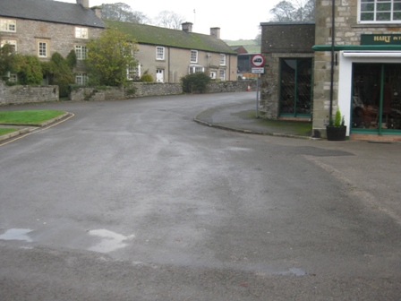
Parking: There is plenty of space in the centre of Hartington village otherwise there is a car park on the B5053 on the Warslow side of the centre. Its £3.50 for the day.
The Walk
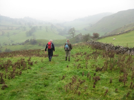
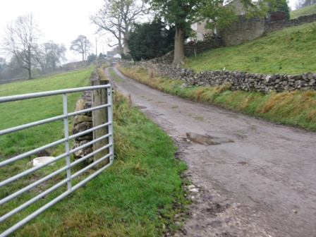
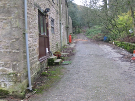
By some miracle, we managed to notice MP and PNO in the village hall car park. Eventually we parked in the centre and started walking on a grey autumnal day shortly after 0830. Walk towards the village pump and take the road up to the church.
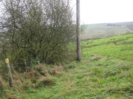
Here turn left onto Hide Lane and walk out of the village.
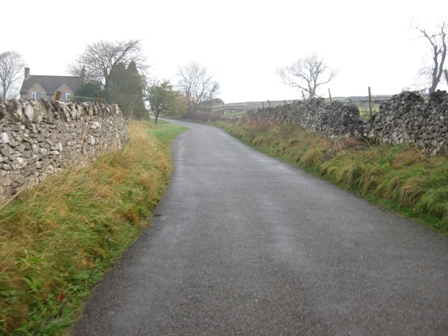
As you leave the houses behind lovely views open up of upper Dovedale towards Pilsbury.
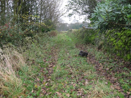
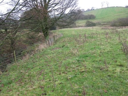
After 0.5km just after a barn turn left onto a path. This is the start of the best 3.5km of the walk along the top of the Dove Valley.
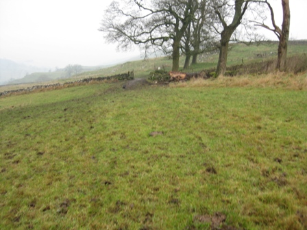
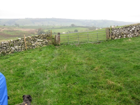
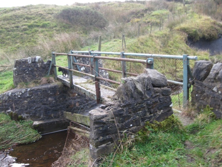
With the misty autumnal weather the views up and across the Dove made an atmospheric start to the walk. You cross three fields and at the top left hand corner of the last by what looked like corrugated iron pig sty’s you go through a five bar gate.
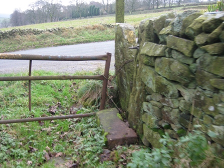
Immediately turn right and drop down on a track to a second 5 bar gate. The path would be tricky to follow if it wasn’t well way marked; so keep an eye out for the yellow disks.
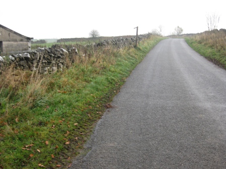
Through the gate the path follows the right hand side line of a wall. As the wall ends the path caries on straight through a gap in some trees before climbing slightly to a short section of wall.
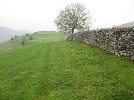
You them cross 3 walls on a clear path; the last of which give you access to open countryside. The path then climbs before dropping down to a further wall.
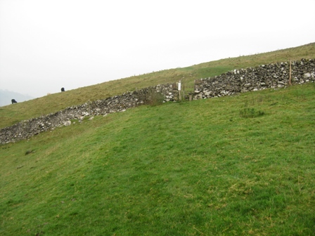
The path them diagonally crosses 2 fields to a further wall at the bottom of a clump of trees. From here the path climbs to the apex of a wall, then onto the apex of a second wall before crossing a wall and dropping into the bottom of a dry valley.
At the bottom of a short steep descent turn left and walk down the valley towards a barn.
Just before the barn you cross a wall and then head diagonally left for 20m before crossing a fence onto track.
Cross the track and go straight (FP Crowdecote) crossing a field diagonally left to a gate in a wall.
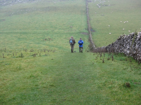
Through the gate turn right and follow the left hand side of a wall to a further wall. Through this wall continue to follow the wall and as it ends (FP) continue ahead along a good grassy path along the valley edge.
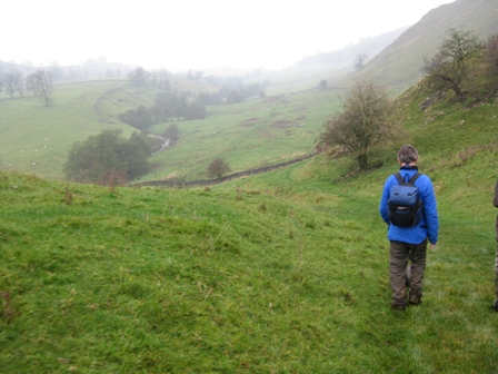
The path picks up the line of a wall from the left before crossing a further wall through a five bar gate before descending down the valley towards Pilsbury Castle – built after the Norman Conquest. Just before the rocky outcrop of the castle cross the wall and turn right.
The path walks in front of the rocky outcrop before dropping down to the valley bottom.
At the bottom of the descent you cross a wall (FP) and walk up the valley bottom for 1km, crossing a wall and a muddy lane before entering a wide hedged/walled lane.
Shortly after entering the lane on the wall on the right is a plaque dedicated to the builder N Naylor who built the wall in 1993 and hopes it will outlast him!
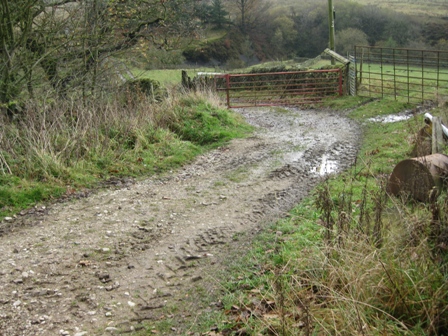
In 400m you reach Bridge End Farm from where you go straight and join the access road to the farm.
The access road leads into the village of Crowdecote.
The track out turns at the main road through the village.
Turn right and climb up the road into the village.
As the road splits turn left and walk down the road for 100m before turning left down a track (FP Glutton Bridge).
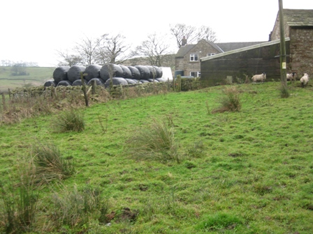
The track shortly bends right and walks in front of Meadow Farm and onwards for 2.2km to Glutton Bridge. As we walked through the farm complex we were met by a very aggressive little dog that barked and snarled at us. We ignored it and carried on which resulted in the dog getting more agitated.
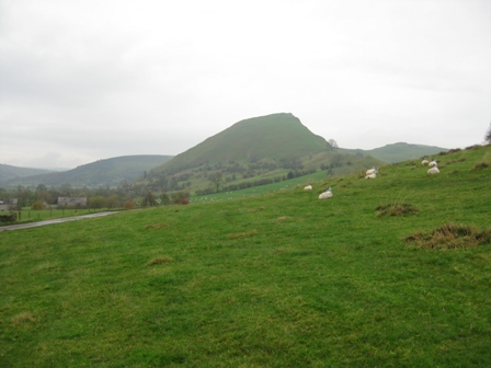
Past the farm ahead were the distinctive forms of Hitter and Parkhouse Hills. 1km after joining the lane you cross Green Lane (FP) before walking through the farm at Underhill.
You pass a building on your left before eventually reaching the B5053 opposite an art studio just above Glutton Bridge.
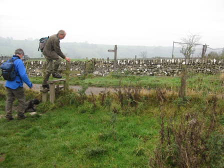
Turn right and walk up the road for 250m before turning left (FP) onto a path that walks round the bottom side of Parkhouse Hill.
From the road the path drops down and crosses a fence before climbing gently to top of a field lined with bushes.
From here the path follows the top of the field before dropping to a 5 bar gate and onwards to a minor road.
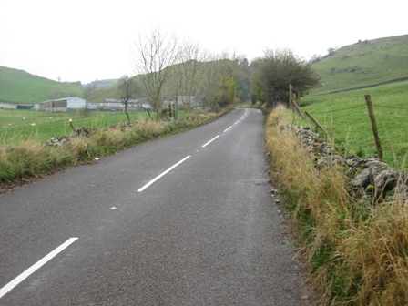
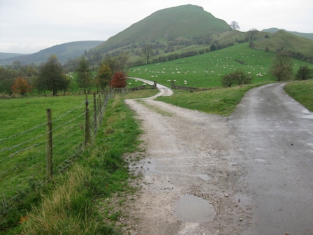
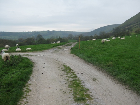
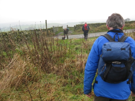
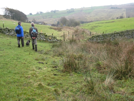
At the road turn right and head along the road towards Chrome Hill. We met 2 lady walkers here coming from Longnor; they followed us for the next mile.
Shortly after joining the road take a track off to the left which heads for the bottom left hand side of Chrome Hill.
After 100m the track crosses a stream then in a further 200m Swallow Brook is crossed via a footbridge (FP). Continue ahead on the track which tracks the left hand bank of the brook.
After a further 400m the track divides. Turn left (FP Hollinsclough) on the track which takes you to a road (FP).
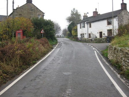
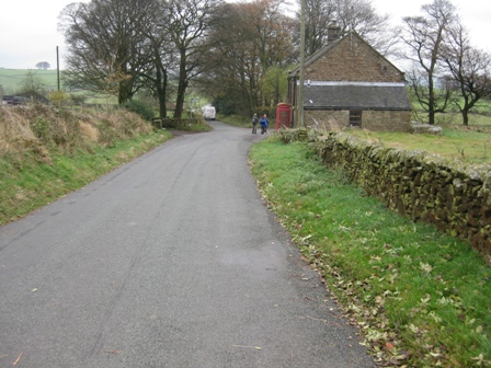
Turn right and walk up the road into Hollinsclough. You pass the village school and church until you reach a T junction.
Cross the road and go straight up a track in front of a line of cottages.
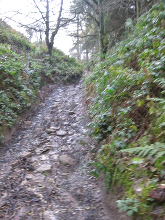
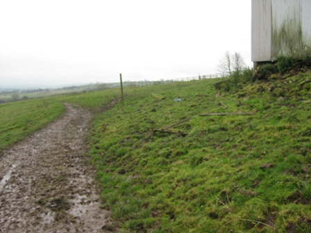
Past the cottages the gradient increases and the track becomes a muddy stony track – in summary a mess. Eventually the gradient eases; the track becomes metalled before you reach houses and a T junction with a minor road.
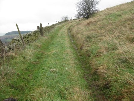
Turn left and walk up the minor road for 200m and turn right along a path (FP) just after the Hollinsclough Parish notice board.
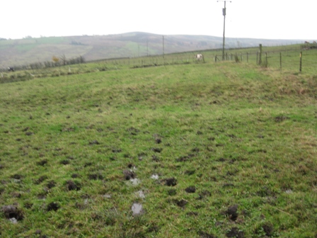
The path follows the right hand side of a wall for 400m until you meet a further minor road (FP). Below you is the Manifold valley. The path is overgrown and the ground wet and boggy. It is a warning of the state of the land ahead.
At the road go straight across the road and through a 5 bar gate down an over grown track nb this is not a footpath but a shortcut to the bottom of the Manifold Valley. Follow the right hand side of the wall down until you are above a track below you on the left. As the way ahead becomes overgrown with brambles drop down to the track which runs along a wall.
At the track turn right and walk along the track until you are faced with a wall with a barn above on the right. Here turn left through a 5 bar gate (way marked) opening.
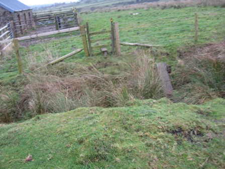
From here drop down diagonally right crossing a fence (stile) and a wall to the bottom left hand corner of a field by a stream and a couple of footbridges.
Cross the 2 footbridges. We had lunch here. After the second footbridge follow the brook round before heading south and climbing the valley side towards the farm at Hole Carr.
Half way to the farm you cross a fence (stile); carry on climbing towards a pedestrian gate to the left of buildings (FP) which gives you access to the farm. A farm dog gave us a loud greeting and bounded towards us. The farmer’s wife took control of it and ordered it into the house.
Turn right in front of the house and then turn left down the side of the house and through a 5 bar gate. Nb looking back at the map we went slightly wrong here but there are no way markers or stiles that we could see to give you the correct line. We walked down a long thin field that has some aggressive looking horned brown cattle in.
We left the field through a gate in the top right hand corner and climbed diagonally right up through a field to a wall/fence. Through a gap in the fence we continued to climb. There is no path here and the going is over wet grassy valley side.
We kept high heading to the right of a building at the top of the Clough.
To the right of the building go through a gate opening and walk straight ahead to a 5 bar gate which outturns at a road (FP).
Cross the road and go down a track to Hocker Farm. You can see a notice ahead saying private road but as you get close to it also indicates the line of the footpath. At the notice turn left and cross the fence.
Immediately turn right and follow the line of the fence down the top of a field.
Cross into a second field and halfway down this field turn left and head down the middle of the field towards the bottom of a dry valley. Turn right and walk down the valley bottom towards the farm at Oakenclough Hall.
You can see the farm below you. The first wall you cross is a mess of barbed wire and an electric fence; why do farmers do this it only upsets everyone. After crossing a second wall with a conventional stile you walk down the left hand side of the valley bottom until you reach a wall above the farm.
The path turns right and then left and tracks down the side of a field with the farm on your left until it hits a track.
Turn left and immediately right down a track which crosses Oakenclough Brook.
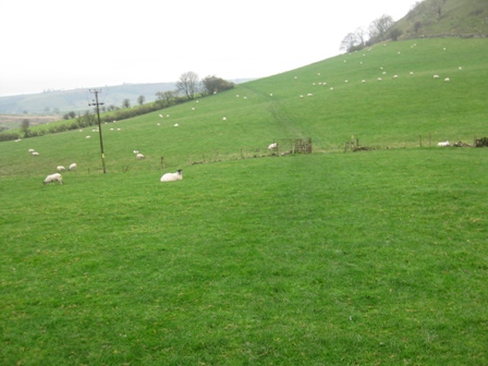
From there it climbs up through a field full of big black cows that kept to the track because the field is so wet and soggy.
The track bends right and follows the bottom of a wall. It passes through a gate and then tracks a wall on your right. After 150m the track bends right, where the wall bends left, and disappears.
Go straight up the field.
Ahead to the left of a building is a walled drive that takes you to a road (FP).
Turn left and walk 200m down to a road junction.
Carry on straight and in 50m turn right down a track towards a farm at Hawk Yard.
At the buildings carry on straight through a five bar gate then turn left and walk in front of an old barn and the farm house.
After crossing a wall turn right and walk diagonally across the field to the top left hand corner where a wall meets a stream.
Cross the wall and track down the stream to a footbridge.
Here turn diagonally left and track above the stream until you pick up a straight track.
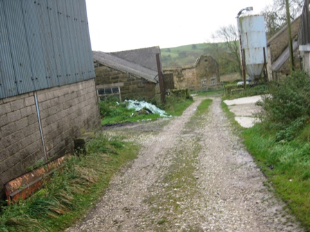
The track follows the left hand side of a line trees to the farm at Boosley Grange.
As you reach the farm buildings take the track that follows the left hand side of the buildings (FP) to the far side.
Here turn right of the track (FP) on a path that climbs to a stile in a fence with the farm on your right.
Across the fence go straight and cross another fence before heading diagonally right to a stile in a wall.
Through the stile go straight down the right hand side of a field to a stream. Across the stream turn diagonally left heading for the right hand side of a distinctive lone building. The OS map is in error round here because fences/walls have been changed.
Cross a fence just to the right of the barn and carry on straight towards a gap in a wall.
Through the wall, head straight with a wall on your left. It had now started to rain so the old waterproofs came out; this limited the number of photos taken on the remainder of the walk. Head for a barn, which is straight ahead by the steam on your right.
You will pass through a 5 bar gate in a wall and carry on down a track past the barn on your right to a stile in a fence.
The track carries on straight with the stream on your left until a 5 bar gate gives you access to a good track.
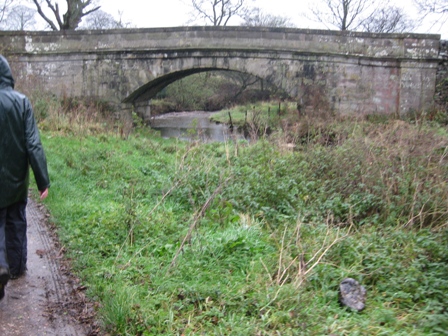
Walk down the track to the road bridge at Bridge End.
At the road turn left and walk up the road until it takes a sharp left turn. Here turn right through a 5 bar gate and immediately left and walk down the left hand side of a field to a footbridge over a stream. On the far side of the stream the path climbs to an apex of a wall on your left. From here head to the left hand side of buildings before reaching a road (FP). Turn right and walk down the road for 200m before turn left on a path that heads diagonally right across a field before it joins a metalled track that takes you down to buildings at Leyburn.
Continue on the track through the buildings and drop down to the River Manifold. Cross the bridge and on the far side take the right hand path that immediately crosses a fence and climbs diagonally up to the top right hand corner of a field. Continue climbing up the next field again to the top right hand corner. Cross the wall and immediately turn right tracking the left hand side of a field hedgerow. After crossing a field hedgerow the path drops down through three fields to just above the river. The path now follows the bottom side of a hedgerow for two fields before crossing hedgerow on your left. The path then picks up a track before tracking the right hand side of a wall and hitting a road (FP).
Cross the road and take a path on your right. The path tracks round the right hand side of a spur, crosses a wall before out turning at a road. Turn right and walk along the road towards Brund. On the outskirts of Brund turn left up a track (FP). The track is joined by another from the right and gently climbs to the top of a hill before descending. 0.5km after joining the walled track it ends. Carry straight crossing field heading for a stile in fence. The path crosses a further 2 fields until before you is the village of Steen. In the next field, the last field before hitting a road, there were over a dozen young inquisitive heifers. They came bounding towards MP and his dog, stopping 6 ft form them. With heads down, I thought, here we go a charge. But no. They studied Max then bounded off jumping around like young lambs. Saved again. Cross to the top left hand corner of this field passing to the left of a barn. Here you cross a stile (FP) and turn left down the road.
Cross the road and in 50m turn right down a track towards a cottage. A path through a stile on the right take you round the right hand side of the cottage. On the far side of the cottage the path drops down a slope heading for the right hand side of the field. At the bottom of the field cross a couple of fences and climb up the centre of three fields until at the top of the climb and in the fourth field head for a cutting. Ahead of you, in the Dove valley below, is Hartington.
The path drops down sharply to a lane (FP). Cross the lane and descend diagonally right down to the bottom of the valley, crossing the infant River Dove. From here a good path crosses a couple of fields before joining a lane that takes you down the left hand side of the old cheese factory. The lane outturns at a metalled lane. Turn left and walk into the centre of Hartington by the duck pond, and the car.
Summary
Hartington has good facilities including a pub and award winning post office/cafe which stays open all year round. However, the walk was disappointing especially the second half after you’ve left the Dove valley. The walk should take in Parkstone Hill and Chrome Hill which have access points but no paths marked on the map. The walk from above Hollinsclough back to Hartington is not very interesting, goes through a lot of farms with fields (and hence paths) that are muddy and laden with cows. Three of the farms had loose aggressive dogs; what a pity. Things were not helped by the weather which deteriorated during the day resulting in a miserable end.
The route is easy to follow although care is needed around some of the farms. The leader will spend most of his time map reading.
There weren’t many people out walking; I’m not surprised because although the route is low level, it’s not very interesting. Oh, for the high moors.
Home Start Point PeakDistrict Books Related Sites TextOnly Map&Summary
Home Start Point PeakDistrict Books Related Sites TextOnly Map&Summary


Too wet to take photos